

South & Gotland
Kullaberg
A hard headland, a hidden sculpture, and a country that isn't one.
Region
South & Gotland
Best season
May – Sep
Best for
Walkers, and anyone who likes a good story
About Kullaberg
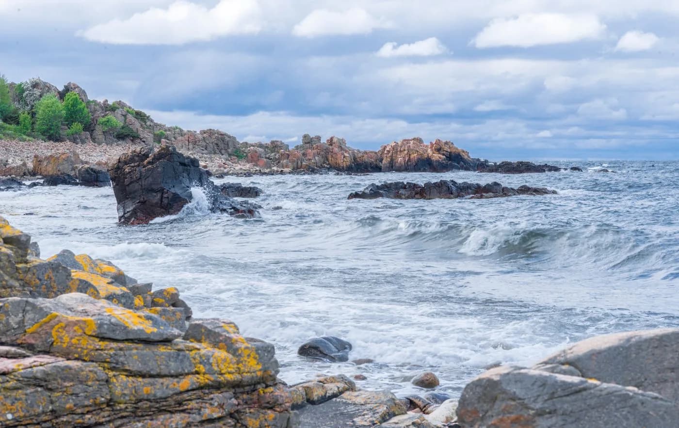
A blunt gneiss headland pushing out into the Kattegat at the north-west corner of Skåne, with cliffs, caves and some of the clearest water in southern Sweden. It also holds the strangest thing on this map: a seventy-five-tonne driftwood labyrinth that its maker declared an independent country.
Getting there
Copenhagen is the practical arrival airport, then the Öresund bridge and around ninety minutes by road. Helsingborg is the nearest town of any size, roughly forty minutes from the headland.
What to see and do in Kullaberg
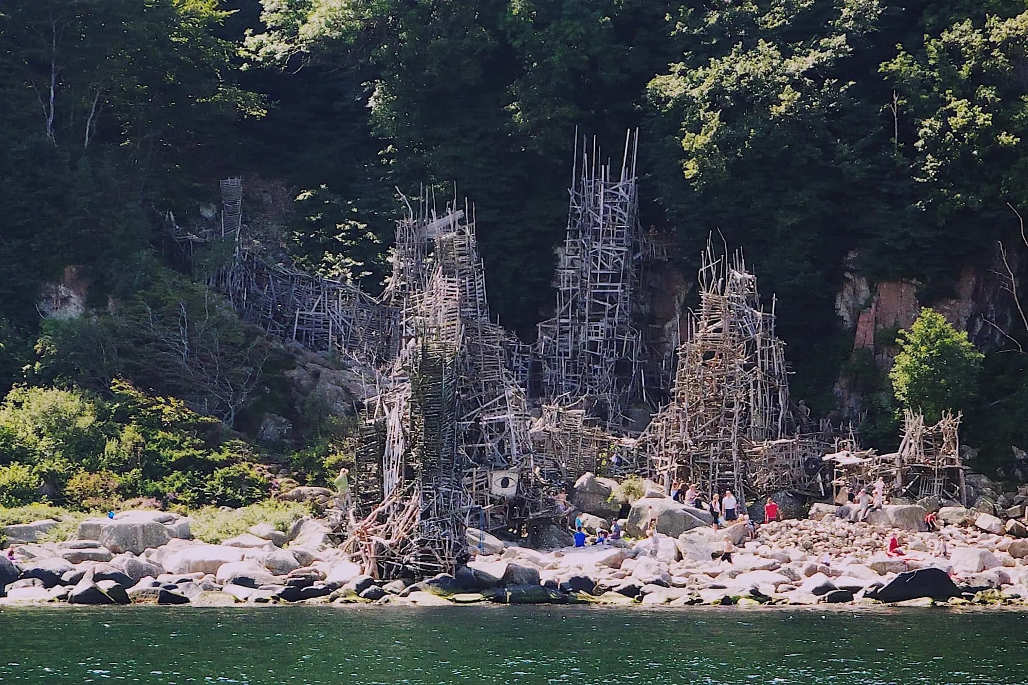
Nimis, and the republic of Ladonia
In 1980 the artist Lars Vilks began nailing driftwood together at the foot of the cliffs. The authorities did not find it for two years, then ruled it an illegal building. He lost every appeal, so in 1996 he declared the square kilometre around it a sovereign nation. The towers are still standing, and the state never demolished them.
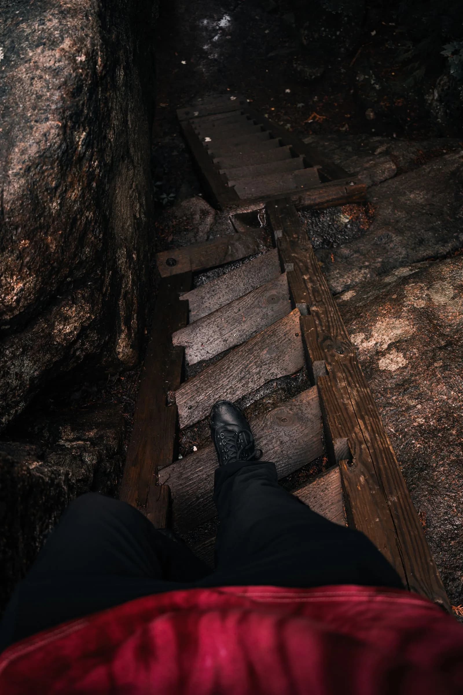
Finding it
It appears on no official map and there are no signs, because Sweden does not recognise it. The route is a worn path marked with yellow letter Ns painted on trees and fence posts, then a steep half-hour scramble down to the shore.
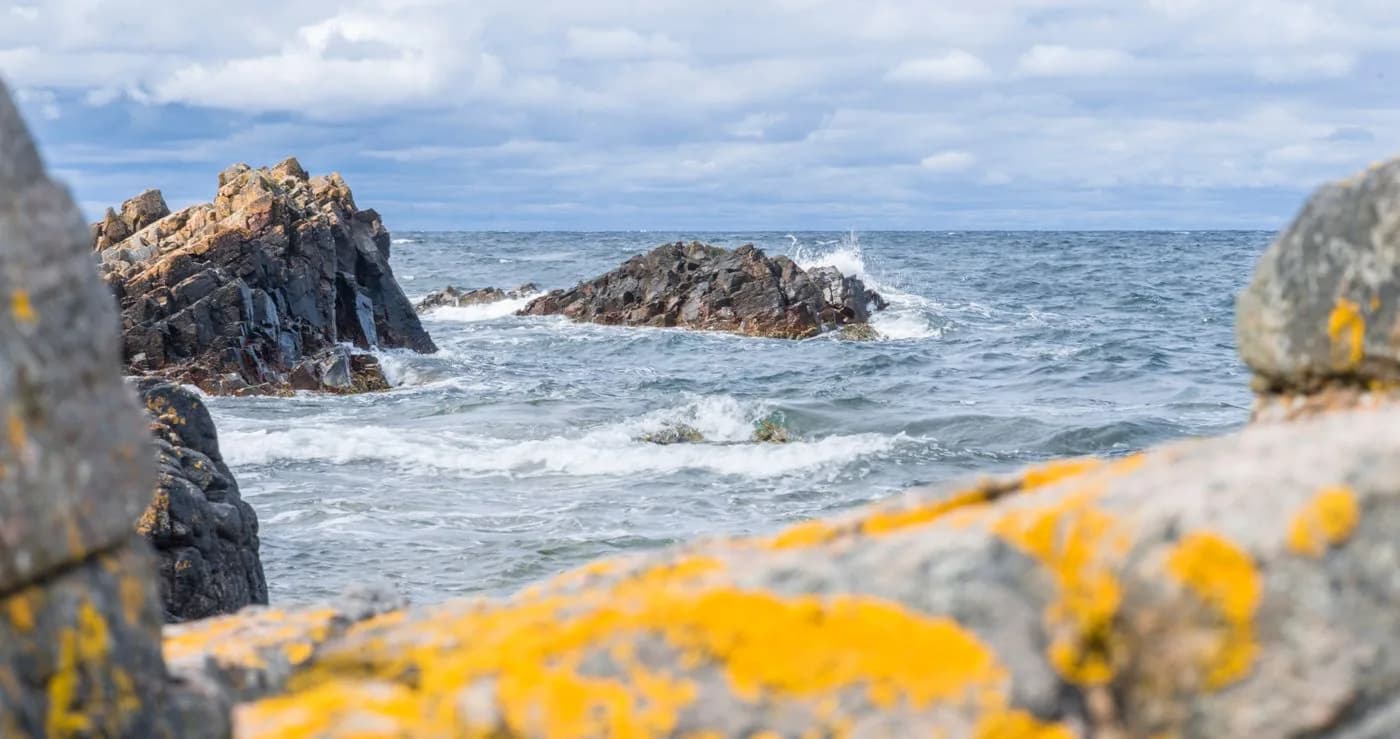
The headland itself
Bare rock rising straight from the sea, caves worn into the cliffs, and a lighthouse on the point where a light has guided ships for centuries. The water here is unusually clear for the Baltic approaches, which is why divers come, and porpoises are seen off the tip through the summer. Walk the cliff path in the morning, swim from the rocks, and finish with coffee by the lighthouse.
Plan My Trip
When to go to Kullaberg
Spring
April – May
The headland at its emptiest, and the walking at its best before the ground dries hard. Cool, and the sea still cold.
Summer
June – August
Swimming, long evenings, and the only months the water is genuinely inviting. Also the busiest, though busy here is relative.
Autumn
September – October
Low light on bare rock, and the sculpture at its most atmospheric. Storms come through; check the forecast before committing to the descent.
Kullaberg: common questions
Anything not answered here, ask us directly — we'd rather you did.
Is Ladonia a real country?
Not in any sense a government would accept, and that is rather the point. It was proclaimed in 1996 after the artist Lars Vilks exhausted his appeals against an order to demolish his sculptures inside a nature reserve. It has a flag, an anthem, and a nominal population of citizens who all live somewhere else. Sweden has simply declined to engage, and the sculptures remain standing.
How hard is the walk to Nimis?
Harder than most people expect, and it is the one thing we would want to be honest with you about before you go. The path is unmarked apart from painted yellow Ns, and the final descent to the shore is a steep scramble over rock and tree roots that takes roughly thirty to forty-five minutes. It is not suitable for anyone unsteady on their feet, and it should not be attempted in wet weather. The sculpture is unmaintained driftwood, so climbing it is at your own judgement.
Can Kullaberg be done as a day trip?
Comfortably, from Copenhagen or from anywhere in western Skåne, and many people do exactly that. But the headland rewards an early start, and the light on the cliffs in the last hour before sunset is the reason to stay the night rather than drive back in it.
Where is Nimis, and where do you park?
Nimis stands on the shore on the north side of the Kullaberg headland, below the cliffs. Most people park at Himmelstorp and follow the yellow Ns painted on trees and posts from there. We give you the route in detail, or a guide, because it is easy to lose.
Who built Nimis?
The Swedish artist Lars Vilks, who began building it from driftwood in 1980 without asking anyone and kept adding to it for decades. The authorities spent years trying to have it removed, a dispute that led him to proclaim Ladonia. He died in 2021, and the work remains.
Is Kullaberg good for walking?
Very. Marked trails run across the whole nature reserve, along the cliffs to the Kullen lighthouse at the tip and down to coves and sea caves, and the village of Mölle makes a good start and finish. Most walks take two to four hours, and the paths down to the water are steep in places.
Ready when you are
Travel to Kullaberg
Every journey we design starts with one conversation. Tell us roughly when you'd like to travel and who's coming, and we'll plan it from there.